Course Information
We offer two distances for our race, a nine mile race with over 2000 ft of climbing (The Nasty 9) and a shorter, but still demanding, 4 mile race for new trail runners or walkers.
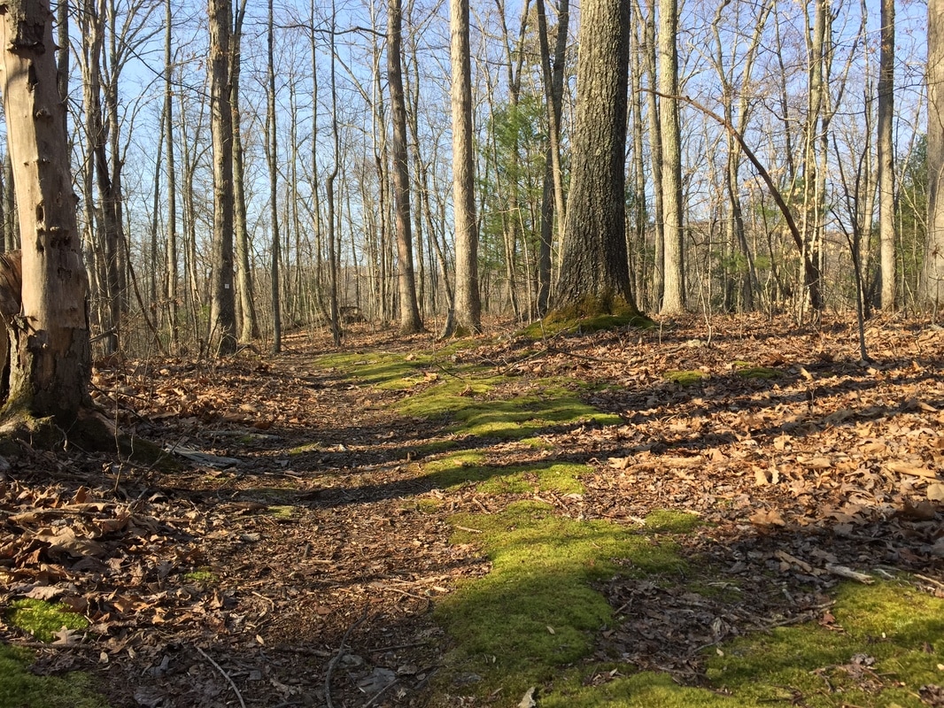
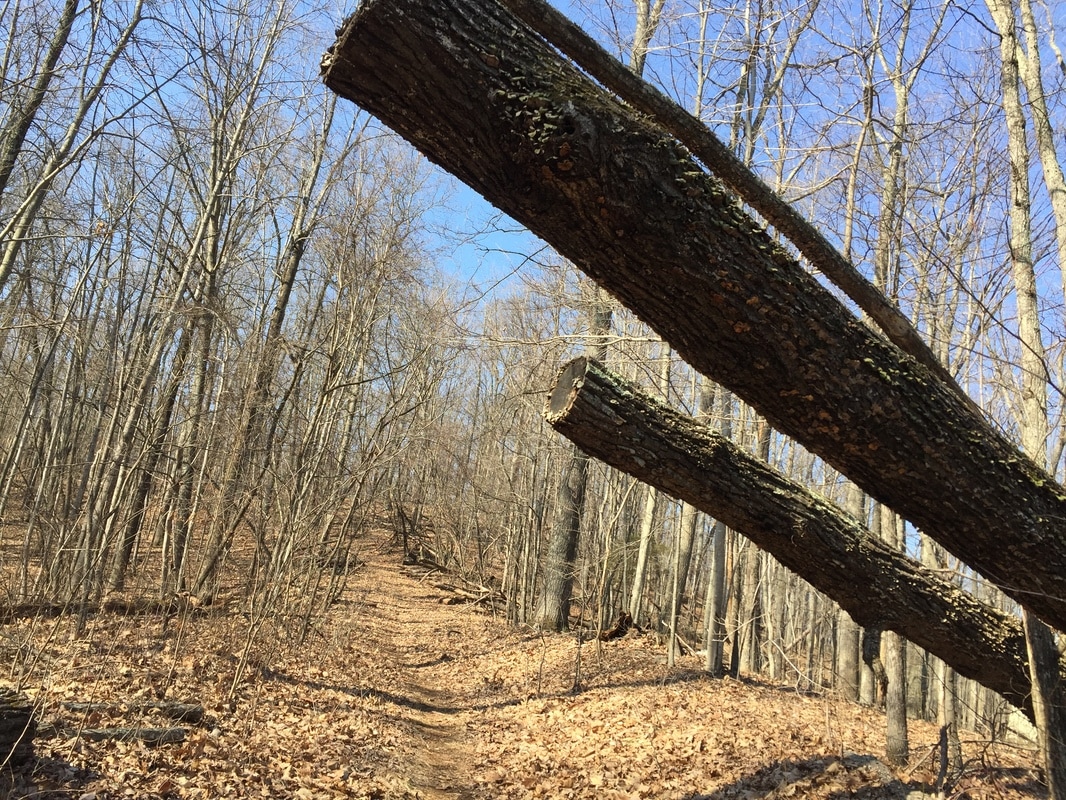
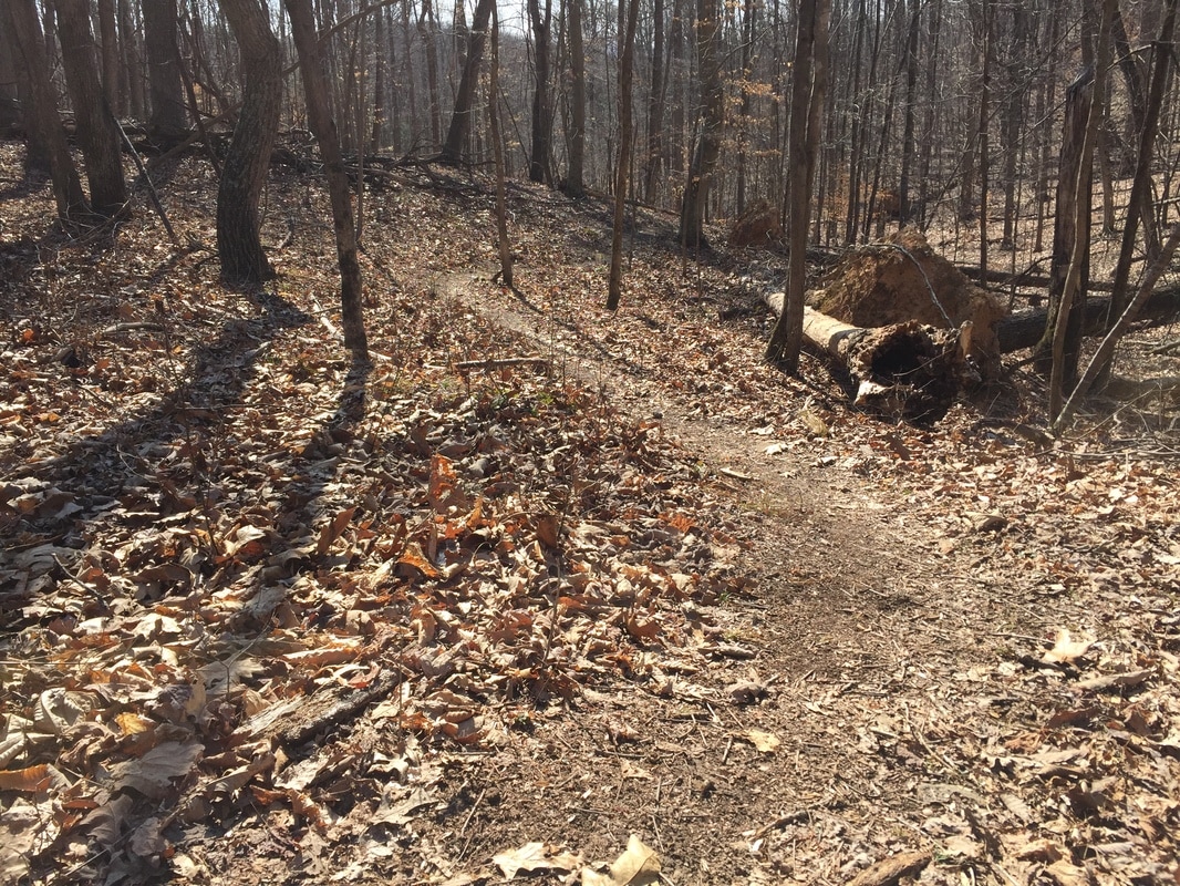
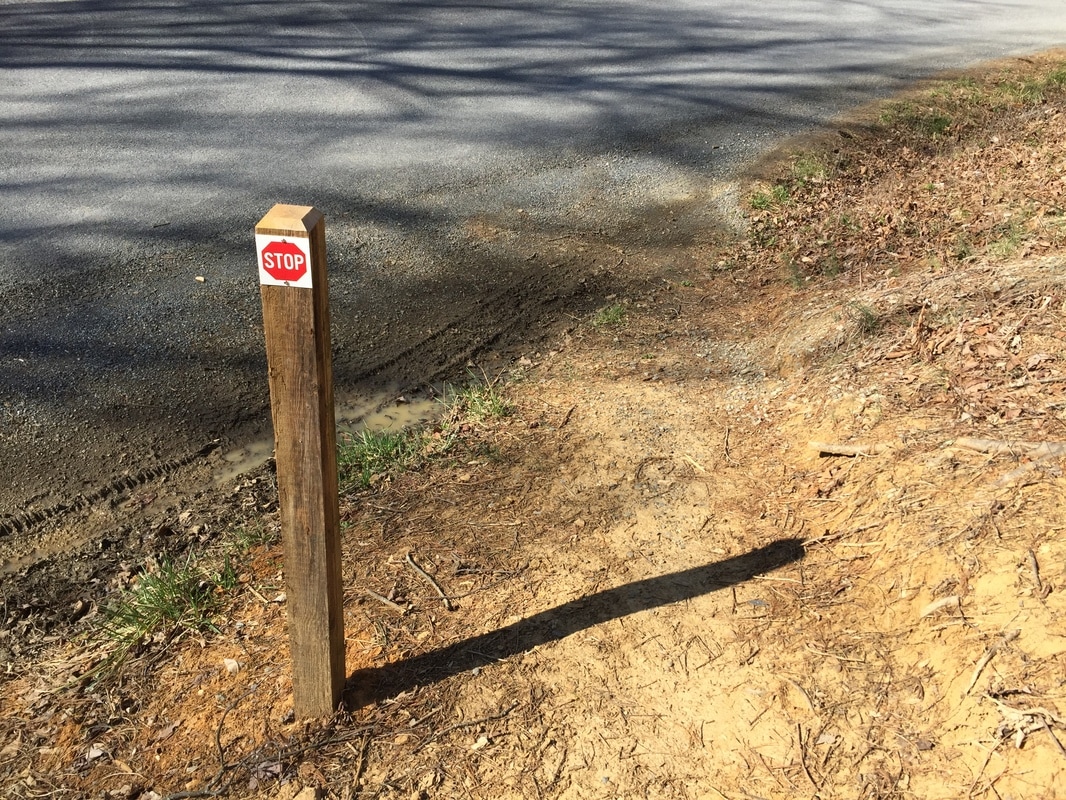
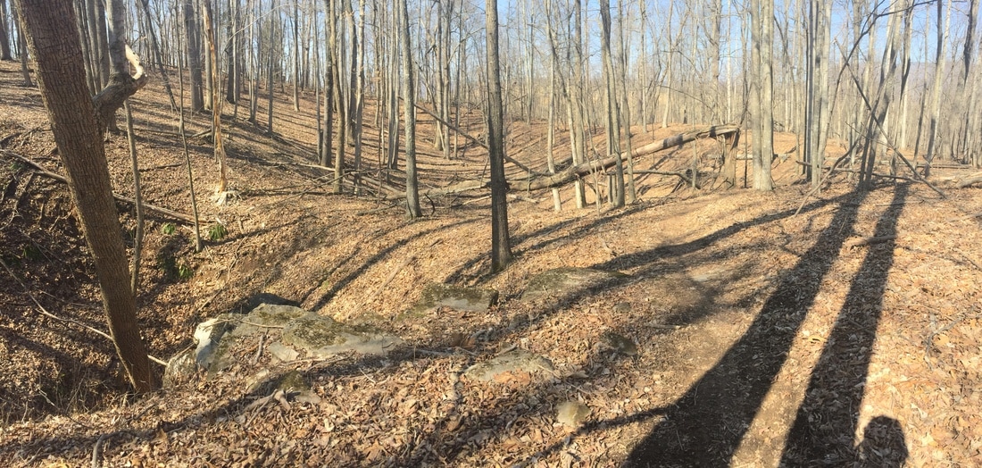
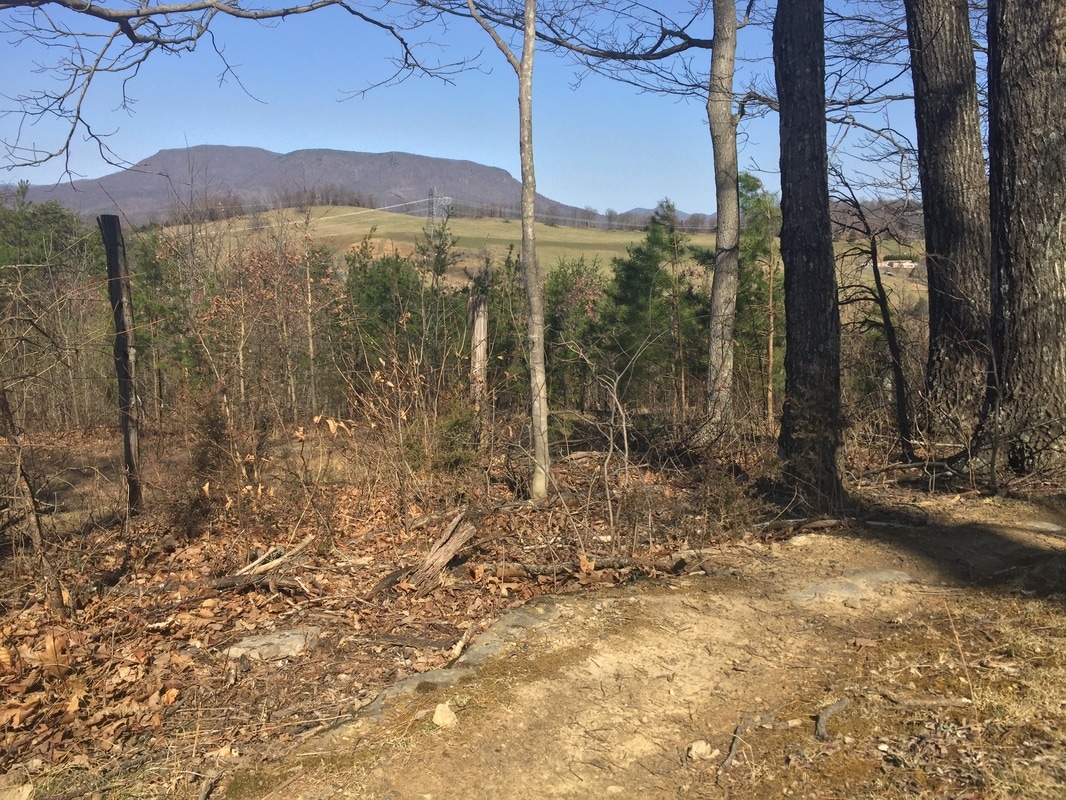
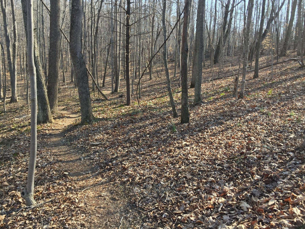
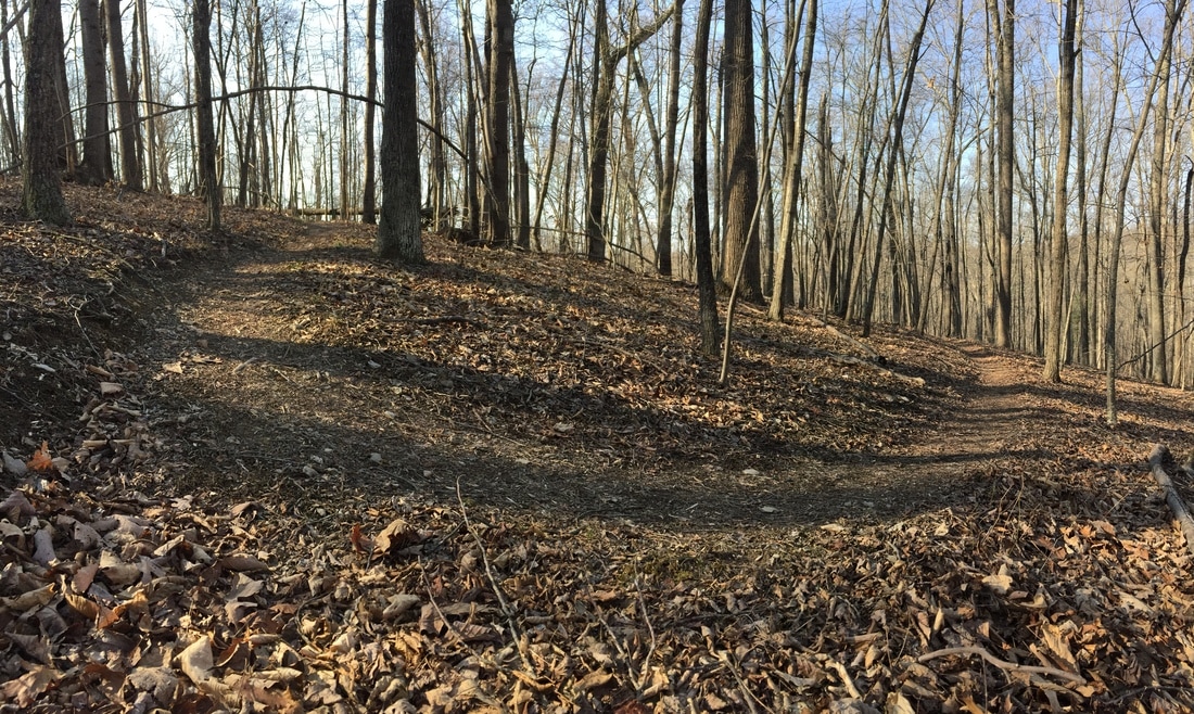
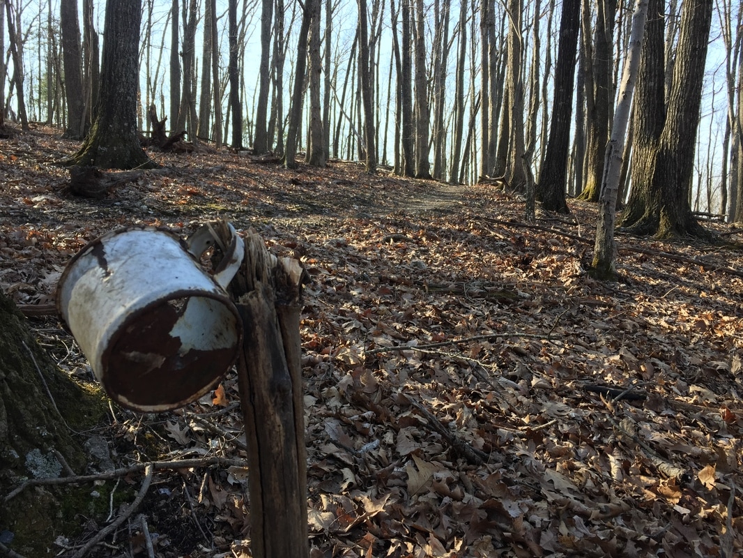
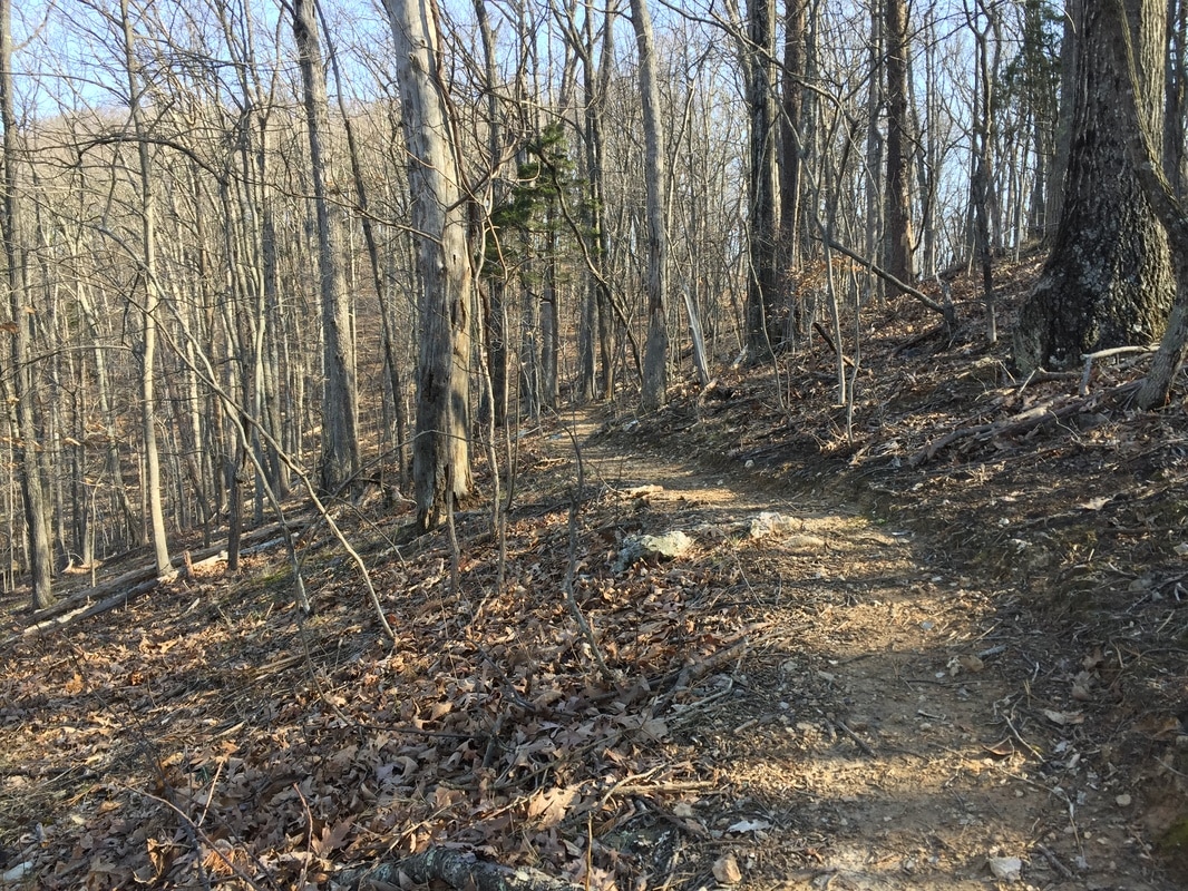
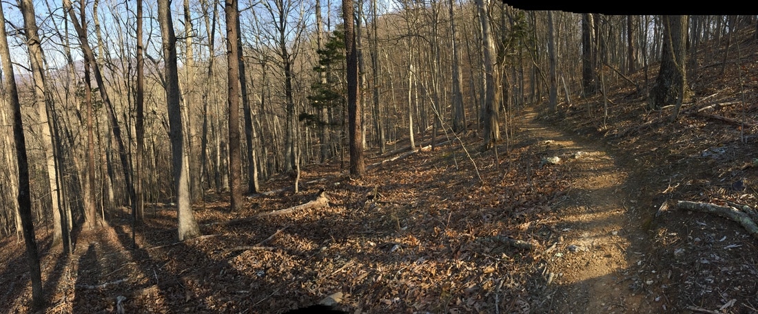
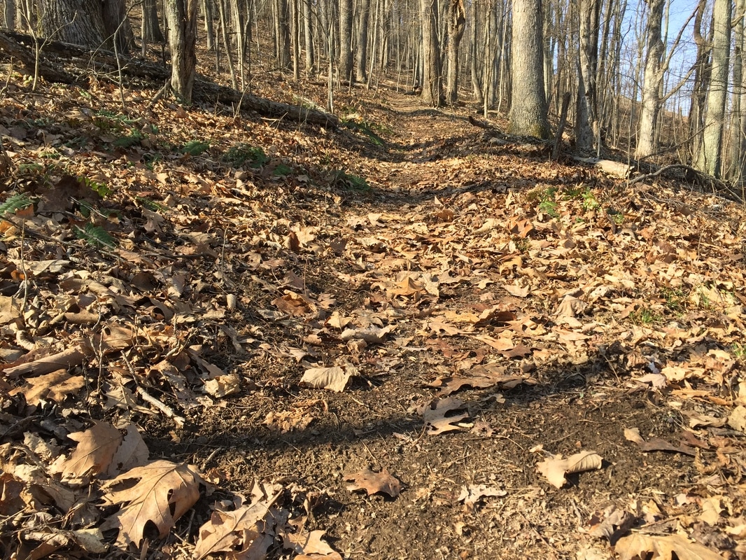
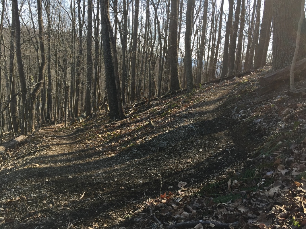
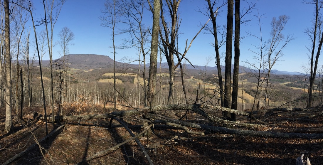
Below you find course maps and elevation profiles images, links to the routes on Strava and Google Maps, photos and (hopefully soon) a preview video.
Course Preview Training Runs (RSVP to [email protected])
CLICK HERE FOR TRAIL SYSTEM MAP WITH COURSE ROUTES
Links to Course Information
Below you find course maps and elevation profiles images, links to the routes on Strava and Google Maps, photos and (hopefully soon) a preview video.
Course Preview Training Runs (RSVP to [email protected])
- TBD
CLICK HERE FOR TRAIL SYSTEM MAP WITH COURSE ROUTES
Links to Course Information
- Nine mile course map (Google), updated for 2018
- Nine mile course map and elevation (Strava), updated for 2018
- Four mile course map (Google)
- Four mile course map and elevation (Strava)
New! Interactive 3D Models, 9 mile and 4 mile (courtesy of Paul Low)


Directions to Brushy Hills (from Lexington)
Take U.S. 60 (Nelson Street) west. Turn left on Lee Street at the post office. At the end of the street, turn right on Preston Street and then left on Jackson Street. Follow Jackson Street and turn right on Ross Road. Follow Ross Road for about two miles to Union Run. Turn right on Union Run and follow for about a mile. Shortly after the road turns to gravel, the parking area for Brushy Hills will be on the left. Across from the parking area and up past the spring house, you will find a kiosk and trail map, with print outs of the trail system.
Lexington, Virginia is located near the junction of highways 81 and 64 about an hour north of Roanoke, Virginia.