Course Information
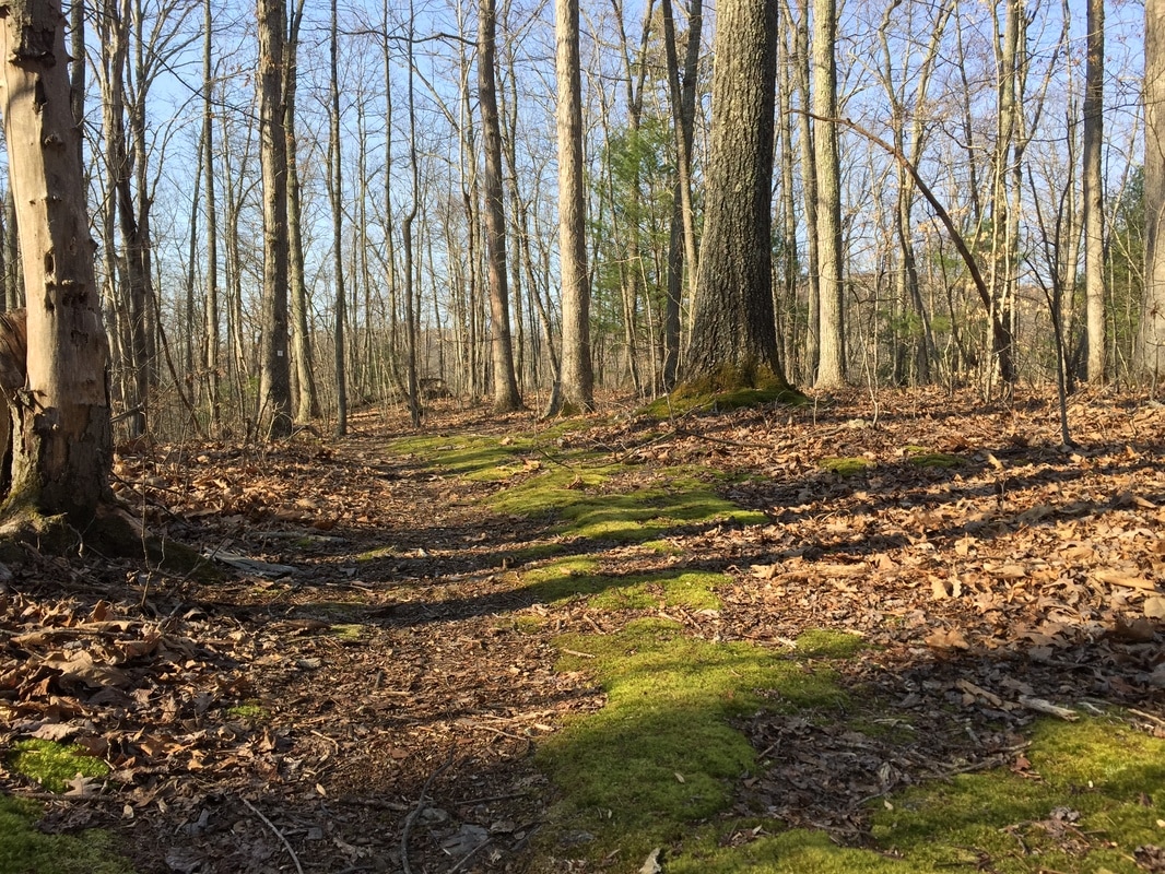
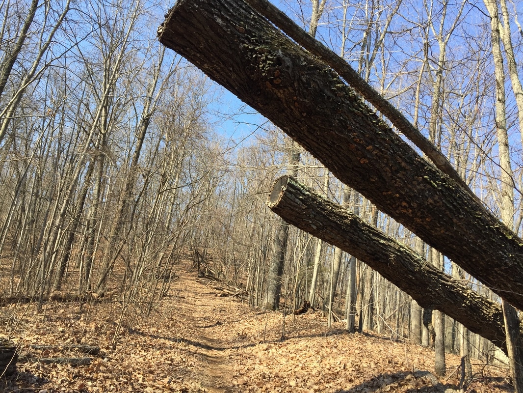
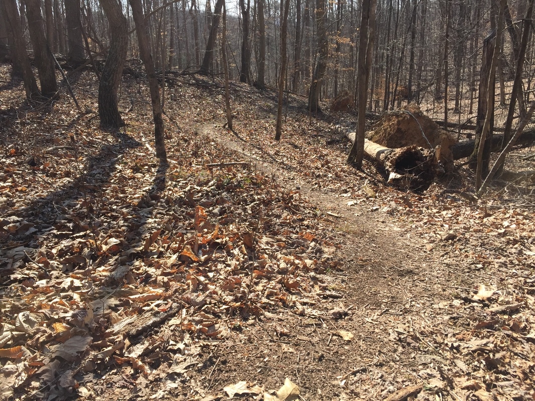
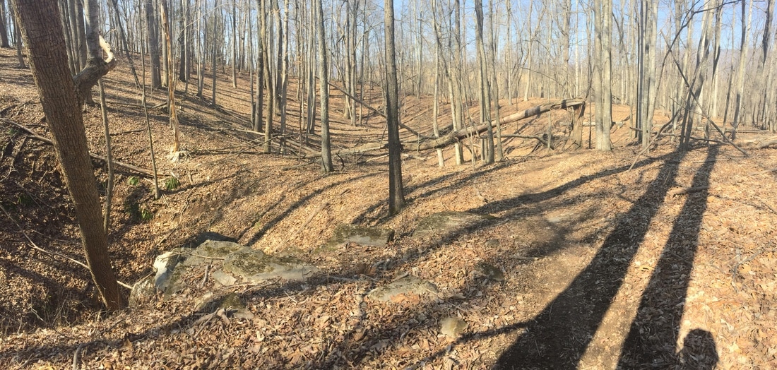
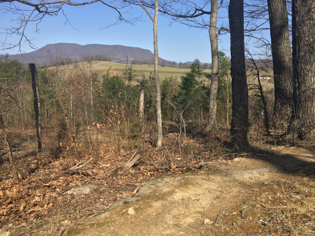
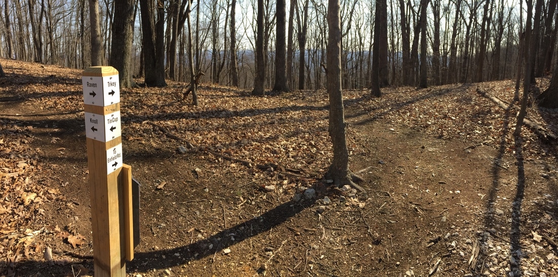
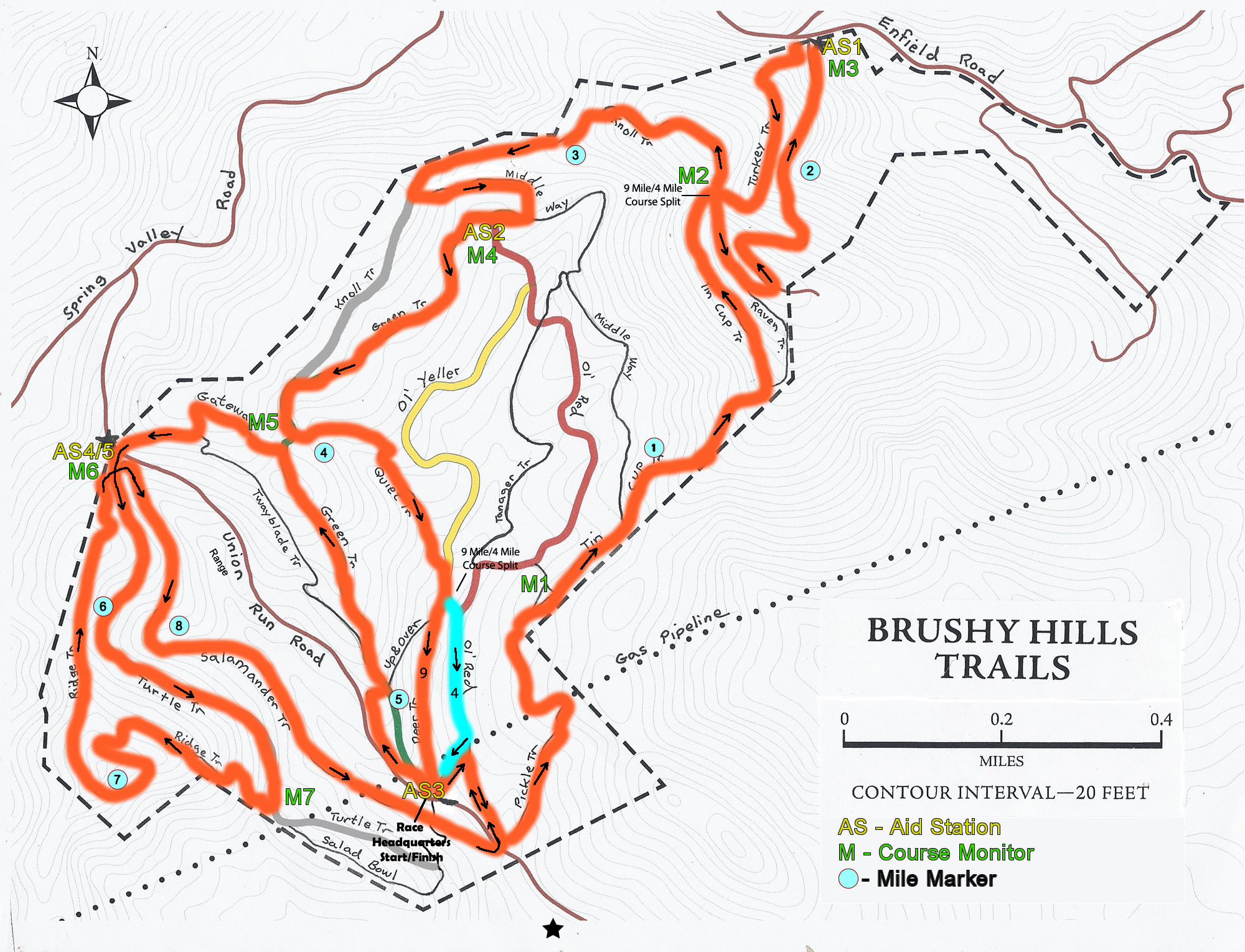
The Nasty 9 course uses multiple trails at Brushy Hills and includes over 2000 ft of elevation gain. For our virtual event, the course will be marked with white streamers for the month of September. We will check these each weekend. But to be on the safe side, use the course map and turn sheet below to make sure you stay on course.
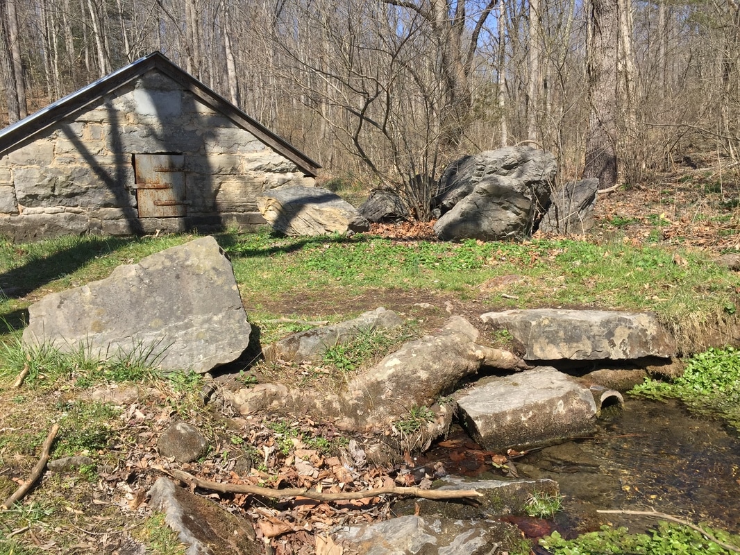
Please note: the course we are using for the virtual event is the original course from the 2017 race. It begins and ends and the spring house near the parking area. We will not be using the modified start/finish on the private land adjacent to Brushy Hills.
Please note: the course we are using for the virtual event is the original course from the 2017 race. It begins and ends and the spring house near the parking area. We will not be using the modified start/finish on the private land adjacent to Brushy Hills.
- Turn Sheet
- Course Map - Course Marked in with orange highlight.


Directions to Brushy Hills (from Lexington)
Take U.S. 60 (Nelson Street) west. Turn left on Lee Street at the post office. At the end of the street, turn right on Preston Street and then left on Jackson Street. Follow Jackson Street and turn right on Ross Road. Follow Ross Road for about two miles to Union Run. Turn right on Union Run and follow for about a mile. Shortly after the road turns to gravel, the parking area for Brushy Hills will be on the left. Across from the parking area and up past the spring house, you will find a kiosk and trail map, with print outs of the trail system.
Lexington, Virginia is located near the junction of highways 81 and 64 about an hour north of Roanoke, Virginia.